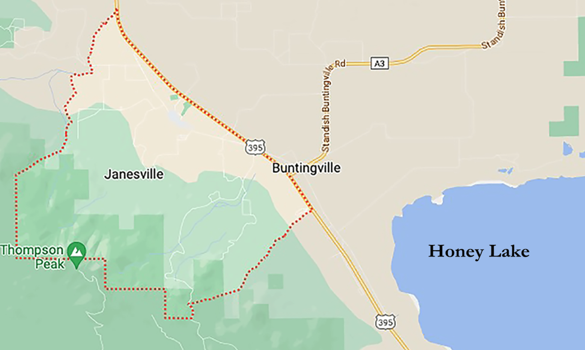
Recently, there has been a lot of public interest in the updating of the Fire Hazard Severity Zone Maps and how insurance risk and hazard are calculated for insurance purposes. The Lassen Times recently published an article which has this explanation of hazard and risk.
“Fire Hazard Severity Zone maps evaluate “hazard,” not “risk,” which is where the presenters and the audience seemed to part ways. According to CalFire, “Hazard” is based on the physical conditions that create a likelihood and expected fire behavior over a 30- to 50-year period without considering mitigation measures such as home hardening, recent wildfire, or fuel reduction efforts. “Risk” is the potential damage a fire could do to the area under existing conditions, accounting for any modifications such as fuel reduction projects, defensible space, and ignition resistant building construction. So, for example, though Greenville is considered a “hazard” due to physical conditions that indicate it could burn (which it did), the “risk” that it could happen is unlikely in the near future because of the existing conditions”.
Lassen Times Article here: https://www.lassennews.com/public-has-another-opportunity-to-comment-on-the-states-fire-hazard-severity-zone-maps/
The California Fair Plan uses a Wildfire Risk Model in consideration of mitigation factors to determine a Fireline Risk Score with determines a premium. the three categories are “Fuels in surrounding area, Slope score, and fuels at property”. I’m not sure if the fuels in a surrounding area, such as Janesville will decrease due to our heavily forested area. It’s likely that the hazard of lots of trees will continue to exist. What can be mitigated is the risk, fuel treatment in communities (Firewise) and property owners efforts at risk reduction. Versick with their new Fireline Analytics is a current model: Versick Model
I’m hopeful that in the near future homeowner efforts to make their homes more firewise will be reflected in reduced premiums . Many of my good neighbors in Janesville are working to make their properties more firesafe.


